Constant map updates
Maintenance monitoring of archaeological of archaeological sites
State and federal inspection and surveillance

Plant stress monitoring
Growth, crop status, pests
Droughts, irrigation optimization
Fumigation strategies and automation

We can make flights of your properties to detect invasions, settlements, illegal logging and other problems associated with the possession of this type of assets.
Loss control and prevention of clandestine material trafficking
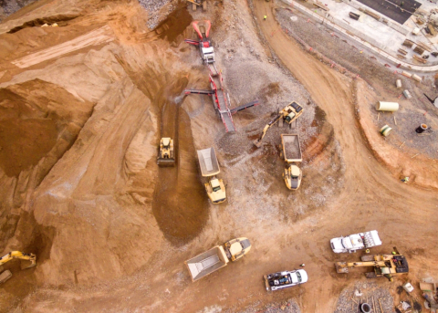
Operations planning
Production volume calculation
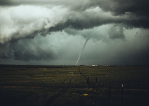
Correct action for natural disasters
Insurance damage assessment
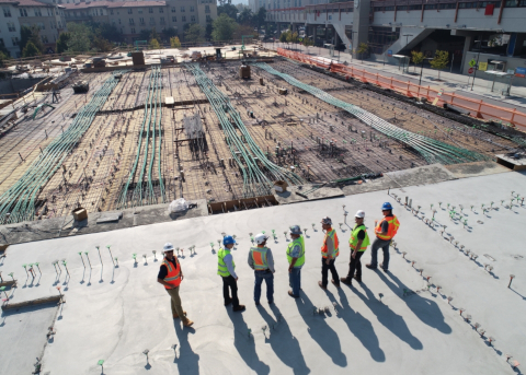
Having control of the progress of a work is essential in large-scale projects, with our work monitoring service you have the ability to measure the weekly progress of your project and thus avoid delays in the program and therefore, monetary losses.
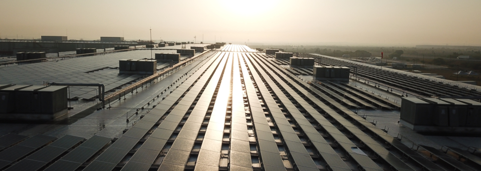
Using our state-of-the-art technology we perform inspections of your solar plant to detect problems in panels, inverters and cabling. We do an accurate analysis and can identify faults such as: Hotspots, string failures, diode failures, shading, soiling and much more.

AirSync is not only data capture, AirSync is a comprehensive service specialized in the study of information.

Fewer operators, lower transportation and training costs. A UAV complements and optimizes human labor.

With no people involved in the work, the likelihood of accidents is completely reduced.

The sum of the above factors results in significant savings in operating expenses.

Capture of images with a resolution up to 15 times higher than satellite images.

No long waits in the generation of new maps and data, when required by the client.